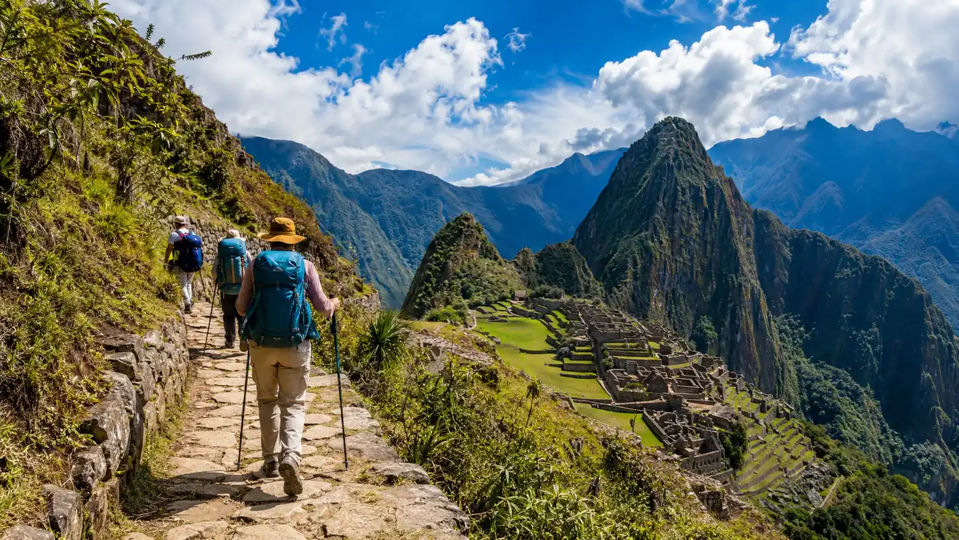
Inca Trail Day by Day Breakdown
Most people obsess over the final sunrise at the citadel, but you spend four solid days grinding through cloud forests, river valleys, and thin-air passes long before you catch that famous view. Planning your inca trail days means wrapping your head around sore knees, shifting microclimates, and wake-up calls at 5:00 in the morning when a porter knocks on your tent canvas with a steaming tin mug of coca tea. It is sweaty, muddy, spectacular work.
Every single day on this trail has its own distinct personality. One day feels like a gentle stroll through dry cactus scrub, and the next reduces grown marathon runners to breathless wobbles on flights of Inca stonework. Knowing the inca trail day by day rhythm lets you pack properly, pace your lungs, and save your joints before the stones take their toll.
Book your cusco inca trail experience:
Day 1: Easing In From Kilometer 82 to Ayapata
The trek kicks off at Piscacucho, better known as Kilometer 82, sitting right along the railway tracks at about 2,600 meters. You stand in line with dozens of other hikers while park rangers inspect your passport and match every detail against your trail permit. Make sure your physical passport is in your daypack, not buried deep inside the duffel bag you handed off to the porters. The porters weigh their massive packs on giant hanging scales here, and watching them adjust 20-kilo loads while wearing sandals will instantly reset your perspective on how hard your own day is going to be.
Once you cross the suspension bridge over the churning Urubamba River, the path heads gently upstream. Day one is widely considered the training run of the trek. You meander through farmland, past dry scrub, patches of prickly pear cactus, and blooming eucalyptus trees. The trail rolls through gentle undulations that the guides jokingly call "Inca flat," which is local code for short climbs followed by short dips. Off to your right, the snow-capped peak of Mount Veronica looms above the valley at 5,897 meters, framing the dramatic ruins of Patallacta terraced into the gorge below.
Most standard tours push past the crowded village of Wayllabamba and climb slightly higher to camp at Ayapata, sitting at roughly 3,300 meters. The total inca trail distance per day for this opening stretch comes out to about 14 kilometers, taking anywhere from six to seven hours of relaxed hiking. Reaching Ayapata on day one makes day two significantly less grueling because you chop off nearly 300 meters of the climb to the pass.
- Morning checkpoint: keep your original passport and permit paperwork handy at the KM 82 gate.
- First viewpoint: stop above the Patallacta agricultural terraces around hour three for your first major history lesson.
- Lunch stop: usually set up by the crew around Miskay or Hatunchaca in a large dining tent.
- Camp arrival: expect to reach Ayapata by 16:30, giving you an hour of daylight to organize your sleeping mat before the temperature plunges.
Day 2: Conquering Dead Woman's Pass to Pacaymayo
Your guide will wake you early, usually before dawn. Day two is the brute. It is the shortest day in raw mileage, covering around 11 kilometers, but it demands an absurd amount of vertical effort. You spend the entire morning climbing through an enchanting dwarf forest of Polylepis trees, dripping with moss and beard lichen, before popping out into the windswept, barren alpine tundra known as the puna.
The target is Warmiwañusqa, or Dead Woman's Pass, which sits at an eye-watering 4,215 meters. If you want to understand the physical toll of the hike, look closely at the highest point on the Inca Trail because the air contains nearly forty percent less oxygen than sea level. Every five steps feel heavy. Your heart hammers against your ribs like a trapped bird, and the trail seems to stretch upward into the clouds indefinitely. Take tiny, rhythmic steps. Stop every fifty paces to look back down the valley, not just to catch your breath, but to see how high you have climbed above the tree line.
Pro tip: Stash a dry thermal base layer inside a waterproof dry bag near the top of your daypack. The pass is freezing and windy, and your shirt will be drenched in sweat when you summit; changing quickly prevents rapid hypothermia while you take photos.
Once you cross the crest, the second test begins. The descent to the campsite at Pacaymayo drops roughly 600 vertical meters down steep, uneven Inca steps. If the inca trail elevation gain by day wears out your lungs on the way up, this descent crushes your quadriceps and knees on the way down. Trekking poles save your joints here. By the time you stumble into Pacaymayo at 3,600 meters around 14:00, lunch is waiting, and most hikers spend the rest of the cold afternoon resting their legs in their sleeping bags.
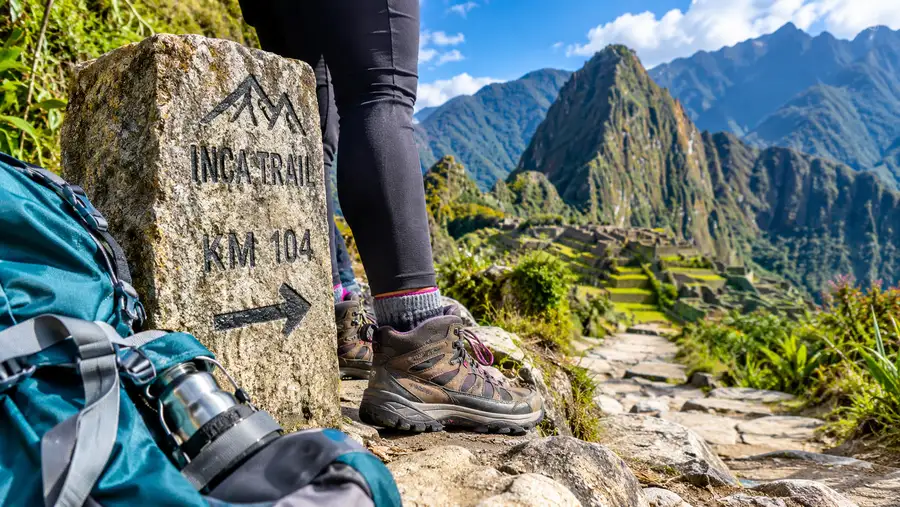
Day 3: Cloud Forests, Runqurakay, and Wiñay Wayna
Day three is long, diverse, and universally loved. While day two is pure physical survival, day three delivers the postcard scenery that inspired you to book the trip in the first place. Leaving Pacaymayo, you climb immediately toward the second mountain pass, crossing the circular ruins of Runqurakay on the way up to 3,950 meters. The clouds usually roll across the ridge here, creating an eerie, atmospheric backdrop where stone watchtowers appear and vanish in the mist.
From the second pass, the trail drops into the lush eastern Andean cloud forest. The change in vegetation happens fast. You suddenly find yourself walking past wild orchids, hanging bamboo, hanging vines, and slippery black stones polished by centuries of rain and footsteps. You pass through Sayacmarca, a fortress-like settlement perched on an isolated cliff edge that you access via a dizzyingly steep stone staircase. The Inca engineering here borders on unbelievable, clinging to sheer granite drops that plunge hundreds of meters down into the Aobamba valley.
Note: The descent from Phuyupatamarca features over 2,000 continuous stone steps that are notoriously slick when wet. Keep your hands out of your pockets and shorten your stride to keep your center of gravity balanced over your feet.
The trail continues through a tunnel carved straight through solid rock by Inca stonemasons, reaching the stunning site of Phuyupatamarca, the "Town in the Clouds." From there, you begin a punishing descent down thousands of original granite stairs toward Wiñay Wayna. Covering 16 kilometers across eight to nine hours, this is the longest walking day, ending at the most spectacular ruin along the entire route, right outside your final campsite.
| Day | Distance | Elevation Gain / Loss | Walking Time | Campsite Altitude |
|---|---|---|---|---|
| Day 1 | 14 km (8.7 mi) | +700 m / -50 m | 6 to 7 hours | 3,300 m (Ayapata) |
| Day 2 | 11 km (6.8 mi) | +915 m / -615 m | 6 to 7 hours | 3,600 m (Pacaymayo) |
| Day 3 | 16 km (9.9 mi) | +350 m / -1,300 m | 8 to 9 hours | 2,650 m (Wiñay Wayna) |
| Day 4 | 5 km (3.1 mi) | +100 m / -350 m | 2 hours | 2,430 m (Citadel exit) |
Book your cusco inca trail experience:
Day 4: Reaching the Sun Gate and Machu Picchu
The final morning starts bizarrely early. Camp alarms go off around 03:30 because the porters need to pack down the entire tent city and run down to the train station to catch the 05:30 service back to Ollantaytambo. Trekkers walk five minutes to the final checkpoint gate, which remains locked until 05:30. You sit on wooden benches in the dark with a headlamp, drinking lukewarm tea and chatting nervously with hikers from other groups until the park ranger unlocks the chain.
Once the gate opens, the trail hugs the mountain contours for about an hour of relatively flat, fast walking through lush forest. Right before you reach your goal, you face the infamous "Gringo Killer" staircase. It is a nearly vertical wall of roughly fifty giant stone blocks. Hiking poles are useless here; you simply grab the rocks with both hands and scramble up on all fours like a bear.
At the top of those steps sits Inti Punku, the Sun Gate. Passing through the doorway delivers your first sweeping, elevated view of Machu Picchu spread across the ridge far below. On clear mornings, the sun breaks over the surrounding jagged green peaks and illuminates the gray masonry of the terraces. If it rains, the ruins drift in and out of swirling clouds, which looks just as magical in its own moody way. From Inti Punku, you stroll downhill for roughly 45 minutes along a paved path, mixing with clean tourists who took the morning bus up from Aguas Calientes.
Understanding this final push helps you appreciate the structure of the classic Inca Trail 4 days itinerary, which organizes these daily miles so you hit the Sun Gate in the early morning light rather than the heat of midday. You walk down to the classic postcard photo platform, take your celebration snapshots, and then exit the gates to store your large backpacks before entering the ruins for your guided archaeological tour.
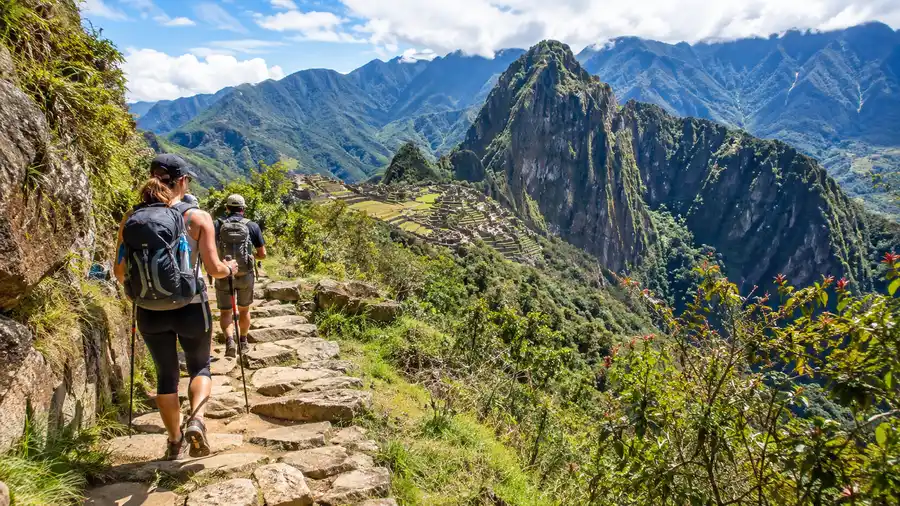
Managing Inca Trail Distance per Day and Elevation
The raw numbers look modest on paper. Covering 46 kilometers over four days sounds easy to anyone who hikes back home, but mountain miles are deceptive. The inca trail distance per day averages out to barely 11.5 kilometers, but almost none of it takes place on flat terrain. You are either working your lungs going up steps or bracing your knees going down steps. The sheer volume of stone stairs is what shocks most visitors.
Proper pacing is what separates people who enjoy the experience from those who limp miserably through the cloud forest. You do not need to walk fast. The porters will beat you to camp no matter how fast you hike, and your tent will already be pitched when you arrive. Finding an easy, conversational breathing rhythm keeps your heart rate manageable when the inca trail elevation gain by day ramps up past 3,500 meters.
- Keep your head up: stare at the step in front of you, but pause frequently to scan the surrounding ridges for spectacled bears and condors.
- Drink before you feel thirsty: high altitude dries out your respiratory system fast, so aim for three liters of water daily.
- Clip your toenails short: descending thousands of stone stairs pushes your toes directly against the front of your boot toe box.
- Use double poles: using two poles cuts the compressive load on your knee joints by roughly twenty percent on the massive downhills.
Frequently Asked Questions about inca trail days
Which of the inca trail days is the hardest?
Day two is universally considered the most physically demanding because of the relentless climb to Dead Woman's Pass. You gain nearly a thousand meters of elevation in thin air during the morning, followed by a steep descent down 600 meters of stone stairs to Pacaymayo. Day three covers more distance, but day two breaks your lungs.
How many miles do you walk each day?
The daily mileage varies between three and ten miles. Day one is roughly 8.7 miles, day two is about 6.8 miles, day three is the longest at 9.9 miles, and day four is a short 3.1-mile stroll to the Sun Gate. Total distance across the classic route is around 26 to 28 miles.
Are there showers available at the campsites?
Cold water showers exist at the first and third campsites, though they are basic, wet concrete stalls. Most hikers skip them entirely because the mountain air cools down rapidly by 16:00, making a cold shower miserable. Porters provide a small basin of warm water each morning and evening for washing your face and hands.
Quick Reference
- Total distance: 46 kilometers (28.5 miles)
- Highest point: Dead Woman's Pass at 4,215 meters
- Steepest descent: 2,000+ stairs down from Phuyupatamarca
- Wake-up times: 05:00 on days 1-3, 03:30 on day 4
- Permits required: strictly limited to 500 people per day
Book your cusco inca trail experience:
The Bottom Line
Four days along the ancient highway will test your calf muscles, soak your rain gear, and leave you with a wild appreciation for hot showers and clean cotton sheets. The daily breakdown might look intimidating when you tally up the vertical meters, but thousands of regular, everyday travelers cross those high passes every single month. Take your time on the stairs, listen to your guide, and soak in the quiet mountain mornings before you rejoin the bustling crowds below.
Read more about cusco inca trail.