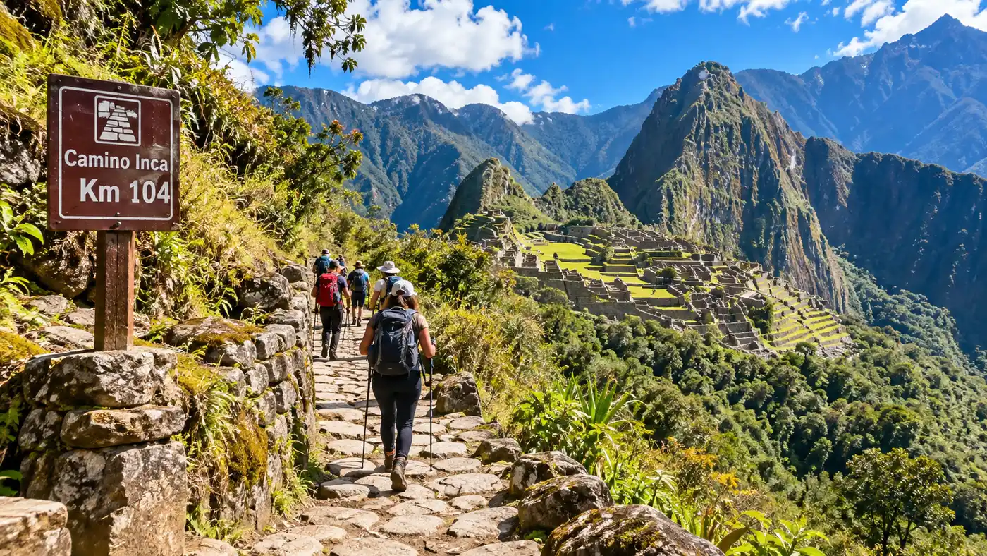
One Day Inca Trail KM 104 Route
The train brakes squeal against the steel rails, slowing down in the middle of a steep river gorge where there is no actual platform. A train conductor swings open the heavy metal door, drops a small set of aluminum steps onto the ballast stones, and gestures you down into the damp morning air. You step straight into the lush brush beside the tracks at inca trail km 104, your pack strapped on, listening to the engine rumble as the carriages pull away toward Aguas Calientes. Most tourists stay in their seats, sipping instant coffee and staring out the panoramic windows. You, on the other hand, are standing on the edge of the Urubamba River, looking at a wooden suspension bridge that leads into the cloud forest.
This single trail marker on the railway line between Cusco and the ruins marks the starting line for the most efficient foot journey to the citadel. Walking the trail from km 104 to Machu Picchu gives you the mountain scenery, ancient staircases, and historic stone ruins of the classic four-day route without the swollen knees, freezing tents, or days off the grid. You hike roughly seven miles, visit arguably the most impressive ruin outside the main sanctuary, and stroll through Inti Punku just as the afternoon light turns the granite peaks amber. It is an intense, rewarding day of walking that turns a standard sightseeing trip into a true Andean pilgrimage.
Book your cusco inca trail experience:
What to Expect on the Inca Trail KM 104 Trek
The hike begins almost immediately at the checkpoint beside the river. You show your original physical passport, hand over the paper permits your guide secured months earlier, and cross the Urubamba via a bouncing suspension bridge. Below you, the silt-heavy river churns violently toward the Amazon basin. Across the water sits Chachabamba, an archaeological site discovered as recently as 1940. It sits at roughly 2,170 meters elevation. The stonework here is rustic compared to what comes later, but wandering through the stone water baths and altar rooms while the valley mist lifts makes you realize you are not on an ordinary nature walk.
From Chachabamba, the path starts climbing. It does not ease you in with flat dirt paths. Instead, you immediately hit stone steps laid into the hillside, cutting upward through tall grasses and mountain shrubs. The sun hits this exposed eastern slope early, turning the trail into a hot climb within thirty minutes. You will shed your fleece quickly. Wild orchids hang off the granite boulders alongside the trail, tiny purple and yellow blooms that somehow thrive on rock faces in thin soil. You hear hummingbirds buzzing between the flowers, sounding almost like giant bees.
Note: Park rangers at the bridge checkpoint will cross-check your passport number against the government permit down to the final digit. If you renewed your passport after booking, bring both the old physical passport and your new one or you will be turned away trackside.
The path curves relentlessly upward, hugging the contours of the mountain. Looking back down, the railway track shrinks into a silver wire squeezed between vertical green canyon walls. The river fades into a white thread. The solitude here feels immense, especially knowing that thousands of tourists are crowding into the town below you at that very moment.
The Path to Wiñay Wayna and the Sun Gate
After about three hours of steady, quad-burning climbing, the path dips into a shaded patch of high-canopy cloud forest. You can hear rushing water before you see it. A mountain stream crashes down a dark rock face, throwing cold mist over the trail. It is the best spot on the entire route to take your pack off, sit on a flat stone, and splash ice-cold glacial water over your face. Just past this ravine, the trees open up to reveal the sweeping curved agricultural terraces of Wiñay Wayna.
Wiñay Wayna means "forever young" in Quechua, named after a local pink orchid that grows across the hillside. The ruins cling to an absurdly steep ridge at 2,650 meters. Forty or fifty narrow farming terraces plunge down toward an abyss, supported by massive retaining walls built five centuries ago. Upper residential quarters sit perched above a chain of stone ceremonial baths that still channel mountain spring water through carved grooves. Many hikers find Wiñay Wayna far more emotionally striking than the main citadel because you are often exploring its narrow alleys with barely a dozen other people in sight.
Pro tip: Eat your packed lunch near the shelter just past Wiñay Wayna, but keep your food secured. The local Andean coatis look adorable, yet they have learned to unzip canvas daypacks the second you turn your back for a photo.
From Wiñay Wayna, you join the final leg of the classic four-day route. The trail levels out into an undulating stone path through dense cloud forest, shaded by mossy trees, ferns, and hanging vines. You hike this relatively gentle section for roughly an hour before reaching the infamous Gringo Killer steps. This is a nearly vertical flight of fifty stone steps carved straight into the bedrock. You have to grab the rock with your hands and scramble up on all fours. Pop over the top step, catch your breath, and you are standing at Inti Punku - the Sun Gate.
- Chachabamba (2,170m): The initial river checkpoint featuring ceremonial water baths and open stone plazas.
- Waterfall ravine: A shaded mid-way rest point roughly three hours in, perfect for cooling down before the final climb.
- Wiñay Wayna (2,650m): Sprawling terrace complex built into a cliff, featuring residential quarters and running water channels.
- Inti Punku (2,720m): The Sun Gate pass offering your very first panoramic view of the citadel nestled between the peaks.
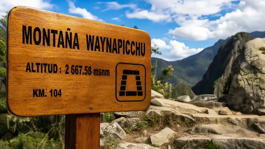
One Day Inca Trail KM 104 Elevation Gain and Physical Demands
Do not let the short distance fool you. The full one day inca trail km 104 elevation gain clocks in at around 650 meters, or more than 2,100 vertical feet, over a distance of roughly 12 kilometers. Almost all of that climbing happens across the first four miles. Your legs will feel every single step, particularly because Inca stairs are notoriously uneven. Some steps are three inches high while the next drops fifteen inches, requiring constant mental focus and balance.
The altitude does not reach the brutal heights of Dead Woman's Pass on the four-day trek, which sits well above 4,200 meters. The highest point you reach on the km 104 inca trail is Inti Punku at 2,720 meters (8,924 feet). Because this is significantly lower than Cusco, which sits at 3,400 meters, breathing feels noticeably easier if you spent a couple of days acclimatizing in the Sacred Valley first. For travelers trying to figure out whether their knees can handle the descent, reading about the Short Inca Trail 2 Days Explained gives useful context on how this day fits into the broader hiking circuits.
| Trail Landmark | Elevation (Meters / Feet) | Distance from Track | Average Walking Time |
|---|---|---|---|
| KM 104 Railway Checkpoint | 2,100 m / 6,890 ft | 0 km / 0 miles | 0 min |
| Chachabamba Ruins | 2,170 m / 7,119 ft | 0.5 km / 0.3 miles | 15 min |
| Wiñay Wayna Complex | 2,650 m / 8,694 ft | 8.0 km / 5.0 miles | 3.5 to 4.5 hours |
| Inti Punku (Sun Gate) | 2,720 m / 8,924 ft | 10.5 km / 6.5 miles | 5.0 to 6.0 hours |
| Machu Picchu Upper Terrace | 2,430 m / 7,972 ft | 12.0 km / 7.5 miles | 6.0 to 7.0 hours |
The final hour of the trek descends from Inti Punku down to the upper terraces of the lost city. This downhill stretch feels gentle on the lungs, but after five hours of uphill work, tired knees can start wobbling on the polished flagstones. Trekking poles save joints here, though park regulations require rubber tips so the metal spikes do not chip the historical stones.
Book your cusco inca trail experience:
Logistics and Permits for the 1 Day Inca Trail Hike
Securing your spot requires forward planning. The Peruvian Ministry of Culture caps permits for this specific section at 250 hikers per day, a number that includes the licensed guides and support porters. During the dry season months from May through September, these spots disappear three to five months out. You cannot walk this trail independently. You must book through an authorized tour operator who arranges the train drop-off tickets, trail passes, national park entries, and returning bus tickets.
Your day typically kicks off around 4:30 AM in Ollantaytambo. You board the early morning Expedition or Inca Rail service bound for the jungle. The train ride takes about an hour and fifteen minutes. As the train nears mile marker 104, your guide signals you to pull on your daypack. The train stops for barely two minutes, just long enough for your group to step off before chugging along to the end of the line.
- Passport verification: Carry your physical passport in a waterproof bag, not a phone scan or paper photocopy.
- Water capacity: Pack at least two liters in reusable bottles, as single-use plastic bottles are strictly confiscated at the gate.
- Trekking poles: Bring rubber tips; rangers check your poles at the bridge and will turn away exposed metal spikes.
- Rain gear: Keep a packable rain poncho in the top pocket regardless of whether the morning sky looks clear.
- Layered clothing: Wear moisture-wicking synthetic clothing, as the humid valley floor gives way to chilly ridge breezes.
Once you reach the upper terrace of the ruins in late afternoon, you take your classic postcard photos while the day-tripper crowds thin out. From there, you do not explore the inner ruins on the same afternoon. Instead, you exit through the main gates and catch the twenty-minute switchback bus down to Aguas Calientes for a hot meal and a shower. If you booked the pure single-day tour, you take the evening train back to Ollantaytambo or Cusco that very night. Most hikers, however, spend the night in a hotel bed and return the following morning to tour the temples and palaces with fresh legs.
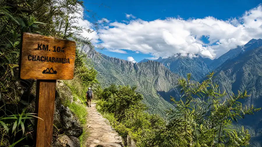
Navigating the KM 104 Inca Trail Map and Terrain
Looking at a km 104 inca trail map, the journey appears almost straightforward. You trace a southern path above the winding river before turning westward toward the sanctuary. In reality, the topography is dramatic. The trail sits carved into granite cliffs with steep drop-offs into the forest canopy below. Cable handrails protect hikers along the narrowest cliffside paths, but anyone with acute vertigo might feel their stomach churn on a couple of exposed corners.
The ground shifts underfoot throughout the day. It starts with dirt tracks mixed with river gravel, transitions into ancient Inca masonry with stone steps worn slick by centuries of footsteps, and crosses modern wooden footbridges spanning mountain chasms. In rainy periods, moss along the edges of the steps turns slick as glass. Good footwear with deep lugs makes all the difference here; leaving your running sneakers at the hotel and wearing broken-in trail shoes or lightweight hiking boots prevents unnecessary ankle rolls on the uneven Inca paving.
Around 2:00 PM, mountain weather usually shifts. Clouds drift up from the lower valleys, wrapping the granite spires of Huayna Picchu in white vapor. One minute you are sweating under bright sunshine, and five minutes later you are hiking through a cool mist that feels like walking inside a cloud. It creates an eerie, mystical atmosphere that no train ride to the base of the ruins could ever recreate.
Frequently Asked Questions about inca trail km 104
Can you hike the inca trail km 104 route on your own?
No, independent hiking is strictly prohibited. Peruvian regulations require all hikers on any portion of the Inca Trail network to be accompanied by a licensed tour guide through a certified operator who holds government permits.
How hard is the km 104 to Machu Picchu trek compared to the 4-day route?
It is significantly easier overall because you avoid sleeping in cold tents, your pack weighs only ten pounds, and the maximum elevation is 2,720 meters compared to 4,215 meters at Dead Woman's Pass. However, the first four hours are continuous, steep uphill climbing that still demands good cardio fitness.
Do I get to explore the ruins of Machu Picchu on the same day?
You arrive at the upper terrace for panoramic photographs late in the afternoon, but your permit on day one generally does not include circuit access inside the stone city itself. Almost all hikers ride the bus down to Aguas Calientes and return the following morning for their guided tour of the lower ruins.
Quick Reference
- Trail length: 12 km (7.5 miles)
- Highest point: 2,720 meters at Sun Gate
- Starting altitude: 2,100 meters at railway marker
- Hiking duration: 6 to 7 hours total
- Permit cap: 250 visitors daily
Book your cusco inca trail experience:
The Bottom Line
Stepping off the train onto the gravel at km 104 feels like stepping backward five hundred years. You trade crowded tour buses for mountain breezes, the scent of damp moss, and the rhythmic tap of your boots against ancient stone paving. If you lack the vacation time, gear, or desire to spend four days sleeping in freezing mountain camps, this single day along the trail gives you the real pilgrim experience without draining your entire energy reserve. Pack a light bag, break in your hiking shoes, book your permits early, and let the cloud forest show you why this path remains legendary.
Read more about cusco inca trail.