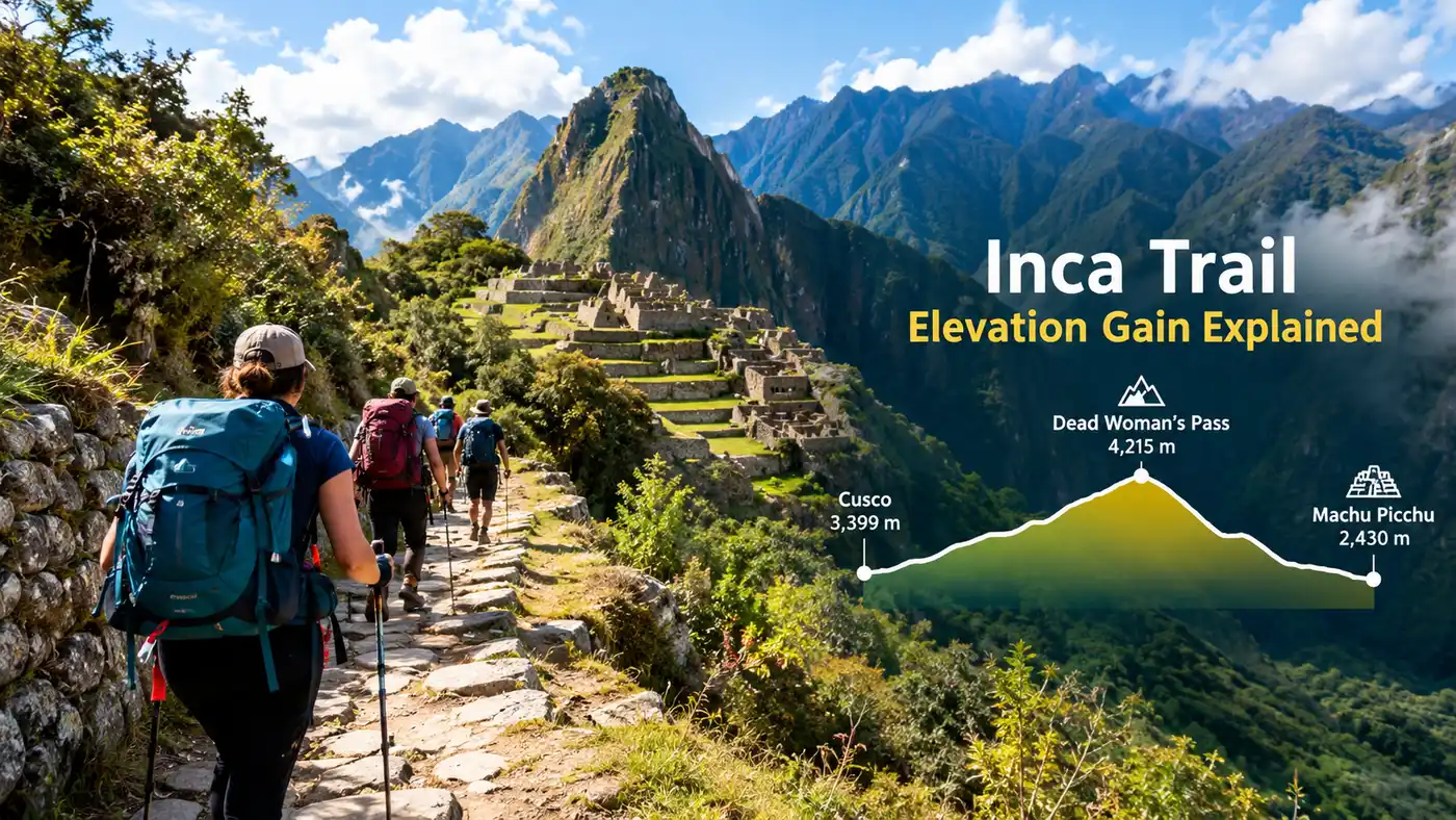
Inca Trail Elevation Gain Explained
My legs were shaking by two in the afternoon on my first trek, not because I was out of breath, but because my calves had absorbed thousands of stone steps without a flat stretch in sight. Planning your trek requires looking past simple trail mileage and focusing on the actual inca trail elevation gain by day, because the steep vertical shifts will dictate your pace, your appetite, and how well you sleep at night.
Most hikers obsess over the final destination, yet the geography between the valley floor and the ancient citadel is a continuous sequence of high Andean passes and plummeting cloud forest staircases. The classic route covers roughly 42 kilometers, but you will climb up and down thousands of vertical meters across four days. Understanding how those elevation changes break down day by day is the smartest way to pace your training and keep your knees intact.
Book your cusco inca trail experience:
Understanding the Classic Inca Trail Elevation Gain by Day
The total elevation gain inca trail hikers face across the classic route is roughly 2,800 meters of ascent paired with nearly 3,000 meters of descent. That is a massive amount of up-and-down movement over rough, hand-cut granite. The starting point at Piscacucho, known as Kilometer 82, sits around 2,600 meters above sea level, which already feels thin if you just flew in from sea level last week.
People often ask me how high is the inca trail compared to other famous treks. The overall altitude inca trail routes cross is moderate compared to treks like the Annapurna Circuit or Kilimanjaro, but the rapid elevation gains each morning make it uniquely punishing. If you hike with trekking poles, your shoulders will take a fraction of that strain off your hips. Without poles, your quad muscles will bear the entire weight of every single uneven stone riser.
To help you visualize how the elevation of inca trail days shifts between camps, here is the day-by-day altitude profile for the standard four-day trek:
| Day | Starting Elevation | Highest Point | Camp Elevation | Net Gain / Loss |
|---|---|---|---|---|
| Day 1 | 2,600 m (8,530 ft) | 3,000 m (9,842 ft) | 3,000 m (Wayllabamba) | +400 m ascent |
| Day 2 | 3,000 m (9,842 ft) | 4,215 m (13,828 ft) | 3,600 m (Pacaymayo) | +1,215 m ascent / -615 m descent |
| Day 3 | 3,600 m (11,811 ft) | 3,950 m (12,959 ft) | 2,650 m (Wiñay Wayna) | +350 m ascent / -1,300 m descent |
| Day 4 | 2,650 m (8,692 ft) | 2,720 m (8,923 ft) | 2,430 m (Machu Picchu) | +70 m ascent / -290 m descent |
Looking at the raw numbers gives you an immediate reality check. Day two carries almost half the total climbing of the entire expedition in a single morning. For European hikers translating stats into German trail metrics, tracking elevation gain deutsch style as Höhenmeter reveals that you conquer over 1,200 vertical meters before lunchtime on that second day alone.
Pro tip: Shorten your trekking poles by about 5 centimeters on the steep uphill climbs to keep your elbows at a comfortable 90-degree angle and save your shoulders from cramping.
Day 1: Gentle Warm-Up from KM 82 to Wayllabamba
Day one eases you into the rhythm of the Andes. You clear the checkpoint at Kilometer 82 beside the rushing Urubamba River, surrounded by dry cactus hills and dusty dirt paths. The trail rolls along with minor dips and rises, following the river valley toward the first major Inca ruins at Patallacta.
Most trekking companies stop for a hot lunch near Miskay or Tarayoc at roughly 2,800 meters. The climb after lunch starts to bite just enough to remind you where you are. You begin following the Cusichaca River uphill through farmland, passing grazing donkeys and children running home from school along the stone trail. The grade steepens during the last 90 minutes before Wayllabamba camp, which sits comfortably at 3,000 meters.
I always tell friends that day one is a psychological trap. You might finish feeling energetic and wonder why everyone talks about how hard the trail is. Do not be fooled by this easy introduction. The total inca trail elevation gain for this first leg is around 400 to 500 meters spread across 12 kilometers. It is simply a warmup for the wall of rock waiting outside your tent tomorrow morning.
Note: Pack mules and horses are only allowed on day one; from Wayllabamba onward, human porters carry all campsite gear on their backs due to the narrow stone staircases.
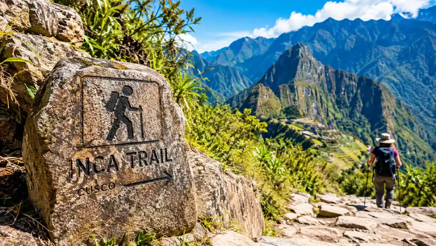
Day 2: Dead Woman's Pass and the Peak Altitude
Waking up at five in the morning to a cup of coca tea outside your frosted tent flap is the universal day two experience. You start walking straight up from camp, stepping immediately onto stone stairs bordered by dense Polylepis forests. The air chills quickly as you climb past Ayapata and Llulluchapampa, the last grassy meadow before the bare alpine landscape takes over.
The highest point on inca trail terrain is Warmiwañusqa, universally known as Dead Woman's Pass. Dead woman's pass height stands at an intimidating 4,215 meters (13,828 feet). The wind at the crest is freezing and fierce, whipping across exposed rock while trekkers celebrate with breathless hugs. You will feel the altitude inca trail guides warn you about right here, where oxygen levels drop to roughly 60 percent of what you breathe at sea level.
Reaching this inca trail highest altitude point is only half the battle of day two. Once you cross the saddle, you face a brutal, quad-shattering drop down thousands of hand-carved Inca steps to the valley floor. You drop 615 meters over two hours to reach the campsite at Pacaymayo. By the time you sit down for soup at 3,600 meters, your knees will feel like warm jelly.
- Morning push: 1,215 meters of pure, continuous vertical climb over 5 kilometers.
- Pass exposure: freezing wind, no tree cover, and rapid temperature drops above 4,000 meters.
- Afternoon descent: steep, damp granite steps that reward slow, deliberate foot placement.
- Camp recovery: Pacaymayo camp is cold and damp, tucked into a deep mountain bowl.
Book your cusco inca trail experience:
Day 3: The Second Pass and the Long Downhill Run
If day two breaks your lungs, day three tests your joints. You climb out of Pacaymayo directly onto another steep staircase toward the semi-circular ruins of Runkurakay. From the ruins, the path continues upward to the second mountain pass, sitting at 3,950 meters. While not the highest point of the inca trail, it feels tough on legs that have not fully recovered from yesterday.
After crossing Runkurakay pass, the scenery morphs dramatically into lush cloud forest. You drop past the fortress of Sayacmarca, walk through an authentic Inca tunnel blasted through solid cliff, and climb up toward the third pass at Phuyupatamarca at 3,680 meters. The view from this "Town in the Clouds" is stunning, with panoramic vistas of snowcapped Mount Salkantay in the distance.
From Phuyupatamarca down to Wiñay Wayna, the trail descends nearly 1,000 meters down unbroken stone stairs. This is where many hikers struggle mentally. You are descending through dense bamboo and orchids, your toes jammed against the front of your hiking boots, counting steps that never seem to end. Wiñay Wayna sits at 2,650 meters, offering warmer air, running water, and a welcome respite before the final dawn push.
Learning how hard the inca trail really is usually happens right here on these descending steps. Take your time, lean slightly into the mountain rather than back on your heels, and let faster hikers pass by.
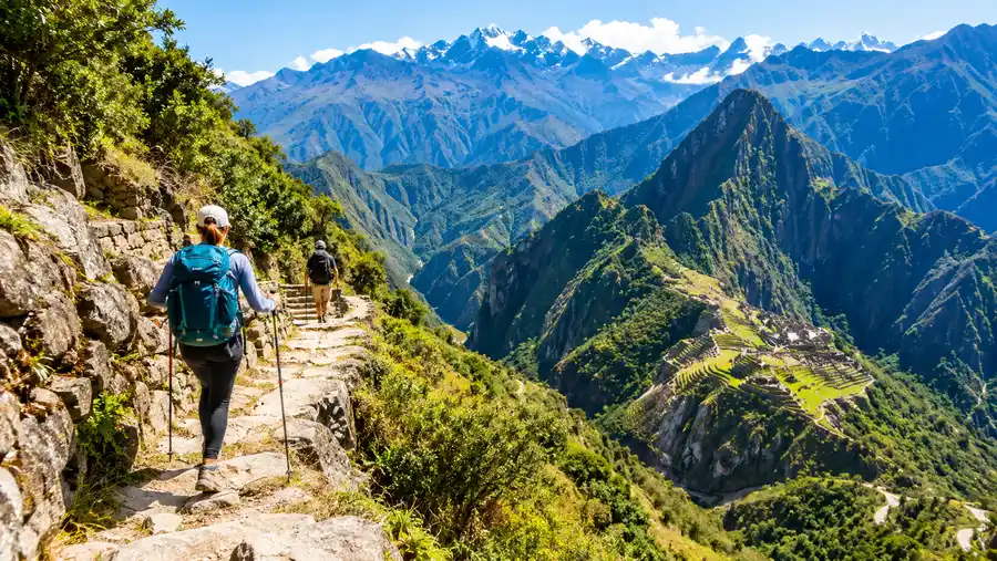
Day 4 and the Short Inca Trail Elevation Gain
The final morning begins before dawn, around 3:30 AM, waiting for the trail gate to open near Wiñay Wayna. The path to Inti Punku, the Sun Gate, is mostly flat and undulating, known locally as "Inca flat" - which still includes small ups and downs. The only real obstacle is the famous "Gringo Killer" staircase, an almost vertical fifty-step scramble where you climb on all fours using hands and feet.
Inti Punku sits at 2,720 meters. From this vantage point, you catch your first breathtaking view of Machu Picchu perched on its mountain ridge far below at 2,430 meters. The final stretch is a gentle, downward hour-long stroll on wide, polished flagstones among day tourists smelling of clean laundry and shampoo. The elevation gain on this morning is negligible, barely 70 meters of total ascent before dropping to the city gates.
Not everyone has four days to spare, which leads many to choose the shorter route. The short inca trail elevation gain is a completely different animal. You get off the train at Kilometer 104, standing at roughly 2,100 meters above sea level, and climb straight up through the sun-baked hillside to Wiñay Wayna at 2,650 meters.
- KM 104 start: 2,100 meters in a humid, low-valley climate.
- Chachabamba ruins: quick cultural stop right past the footbridge.
- Waterfall rest stop: around the 3-hour mark, perfect for rehydrating.
- Wiñay Wayna junction: merges with the classic trail after 550 meters of gain.
- Total day climb: roughly 650 meters of climbing over 12 kilometers to the Sun Gate.
That one-day push packs a serious punch because you do all the climbing under midday sun with no acclimatization camp in between. If you choose that option, hydrate heavily before stepping off the train.
Frequently Asked Questions about inca trail elevation gain by day
What is the highest point on the Inca Trail?
The highest point of the inca trail is Dead Woman's Pass, known locally as Warmiwañusqa, which reaches an altitude of 4,215 meters (13,828 feet) above sea level on the second day of the classic hike.
How much elevation do you gain on the hardest day?
On day two, you climb roughly 1,215 vertical meters from Wayllabamba camp (3,000 m) to the top of Dead Woman's Pass (4,215 m), followed by a steep descent of about 615 meters to Pacaymayo camp.
How high is the Inca Trail compared to Cusco?
Cusco sits at 3,400 meters (11,152 feet). The trail begins lower than Cusco at Kilometer 82 (2,600 m), crosses two passes that are higher than Cusco on days two and three, and ends at Machu Picchu, which sits much lower at 2,430 meters.
Can you get altitude sickness on the Inca Trail?
Yes, altitude sickness can hit anyone above 2,500 meters regardless of fitness. Spending at least two or three days resting in Cusco or the Sacred Valley beforehand is critical for acclimatization.
Quick Reference
- Starting elevation: 2,600 m (8,530 ft) at KM 82
- Highest pass: 4,215 m (13,828 ft) at Dead Woman's Pass
- Machu Picchu finish: 2,430 m (7,972 ft)
- Total ascent: ~2,800 vertical meters
- Total descent: ~3,000 vertical meters
Book your cusco inca trail experience:
The Bottom Line on Trail Altitude
The Inca Trail is entirely manageable if you respect the terrain and give your red blood cells time to multiply before strapping on a pack. Do not rush out of Cusco the morning after your plane touches down; spend three quiet days drinking muña tea, eating light quinoa soup, and walking up the gentle cobbled slopes of San Blas. When you finally hit those ancient stone stairs at Kilometer 82, take small, rhythmic paces, keep your breathing steady, and let the mountain set your speed.
Read more about cusco inca trail.